
 Lewis and Clark Corps of Discovery Bicentennial
 2002 Winter Olympics Salt Lake City
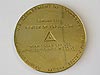 U.S. Center of Population: 2000
 NOAA Heritage Trail: The Calais Observatory
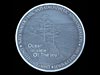 Ocean in View! The Nation's Newest Nickel
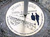 100th Anniversary of the First Flight
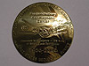 50th Anniversary of the Fredericksburg Geomagnetic Center
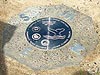 Fagatele Bay National Marine Sanctuary, American Samoa
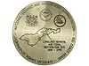 Pago Pago Harbor, American Samoa
 Kilauea Point National Wildlife Refuge, Hawaii
 Hassler Park
 100th Anniversary of the U.S. Forest Service
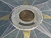 National Estuarine Research Reserve System
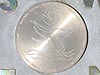 Hawaiian Islands Humpback Whale National Marine Sanctuary
U.S. Center of Population: 2000
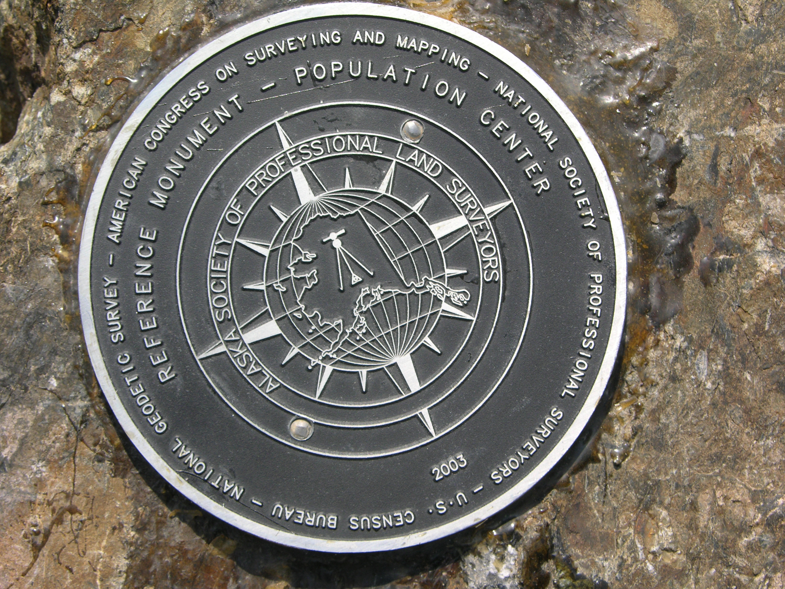
Since 1960, the U.S. Census Bureau and NOAA's National Geodetic Survey have worked together to establish a geodetic control mark at or near the computed location of the center of the U.S. population, in commemoration of the completion of each decennial census. In 2000, the center of the U.S. population was near Edgar Springs, Missouri.

High resolution available. (628kb, 2048x1536).

NOAA geodesist Dave Doyle sets the United States "2000 Center of Population" commemorative mark near Edgar Springs, Missouri.

This commemorative disk marks the 2000 Center of Population of the State of Alaska, near Palmer. High resolution available. (2.5MB, 3264x2448).
Until the completion of the 2000 census, not many people had ever heard of Edgar Springs, Missouri. Now, this quiet corner of mid-America has become known as the "Center of Population." For Census 2000, the center of the U.S. population is at 37.696987 latitude and 91.809567 longitude. The center is approximately 2.8 miles east of Edgar Springs, a rural community whose population totaled 190, according to Census 2000. This point is approximately 12.1 miles south and 32.5 miles west of the 1990 center of population, which was 9.7 miles southeast of Steelville, Missouri.
On April 23, 2001 in Edgar Springs, members of NOAA's National Geodetic Survey (NGS) set an eight-inch, 25-pound, polished brass survey mark in a massive concrete post at the center point during a dedication ceremony. Following the dedication ceremonies, the NGS team, assisted by surveyors from the Missouri Department of Natural Resources, performed a high-accuracy, three-dimensional geodetic survey, using both global positioning system measurements and precision leveling observations, which included connections to nearby existing geodetic stations in the National Spatial Reference System.
Many states also set commemorative survey disks marking the 2000 center of population of that state. The U.S. Census Bureau determines the national and state centers of population after each decennial census. The mark dedications are co-sponsored by NOAA, the U.S. Census Bureau, the American Congress of Surveying and Mapping, and the National Society of Professional Surveyors.
Historic Reference
Each decade, after it tabulates the decennial census, the U.S. Census Bureau calculates the mean center of population. The center is determined as the place where an imaginary, flat, weightless, and rigid map of the United States would balance perfectly if all residents (there were 281,421,906 in 2000) were of identical weight.
According to the Census Bureau, historically the Center of Population has followed a trail that mirrors immigration and migration. The trail reflects the settling of the frontier, waves of immigration, and the migration west and south. Since 1790, the location has moved in a westerly, then a more southerly pattern. The new center of population is now more than 1,000 miles from the first center in 1790, which was located near Chestertown, Maryland.
NOAA and the Census Bureau have been placing marks to honor the center of population since 1960, when the center was located in Centralia, Indiana. In 1970, the center moved slightly west, to Mascoutah, Illinois. In 1980, the center of population was near DeSoto, Missouri, 39.5 miles northeast of the 1990 location (Steelville, Missouri).
- Designation: Not yet in database
- PID: Not yet in database
- Year: 2001
- Location: Edgar Springs, Missouri
- Latitude/Longitude: Not yet in database
- Event Commemorated: Completion of the 2000 census
Related Web Sites:
NGS's Center of Population Project
Map of U.S. Centers of Population Since 1790