
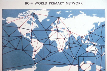
The Worldwide Geometric Satellite Triangulation Program was based on the PAGEOS satellite. PAGEOS was placed in a higher orbit than the Echo satellites, allowing the establishment of even longer baselines. Under this program, for the first time, it became possible to relate the positions of points on different continents by direct observations. Many countries cooperated with the C&GS in this program, but the absence of stations over the Soviet Union is apparent on this map.