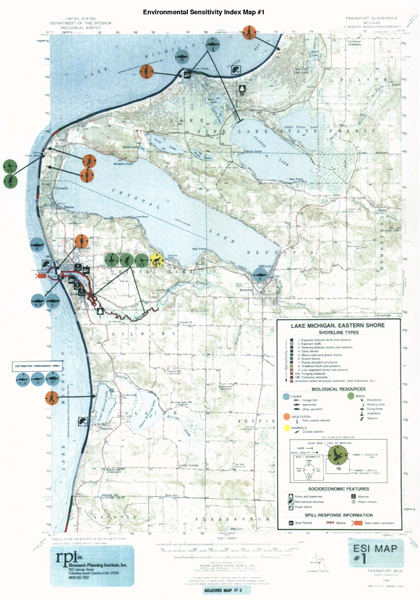
On early, hand-drawn ESI maps, information about specific plant and animal species or changes associated with seasons was limited. There was no “back of the map,” rather all details were provided in the introductory pages to each atlas or on the icons themselves. Above is an example from the Eastern Lake Michigan atlas prepared in 1985.

