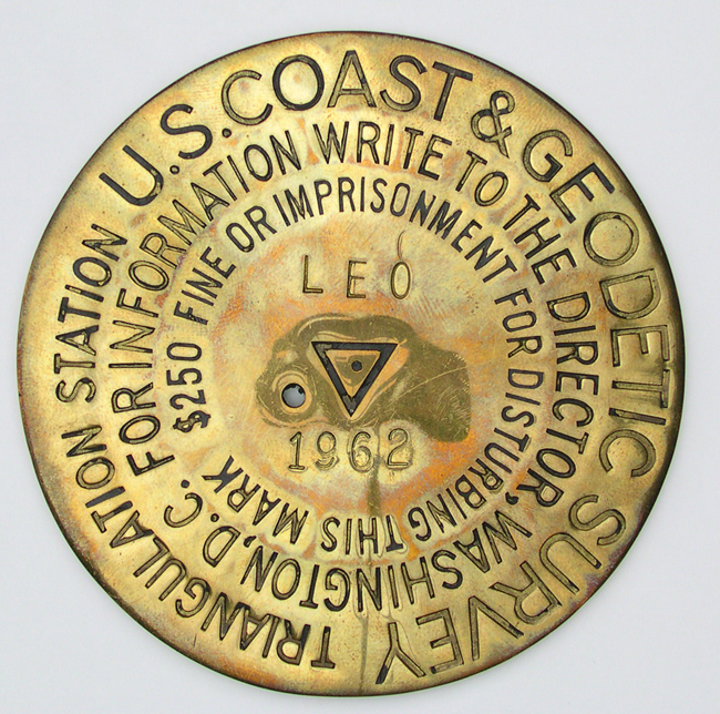
NOAA's National Geodetic Survey maintains a database of hundreds of thousands of geodetic control points with precise latitude and longitude coordinates or elevations in the National Spatial Reference System. Permanent in-ground monuments like this one mark their position.