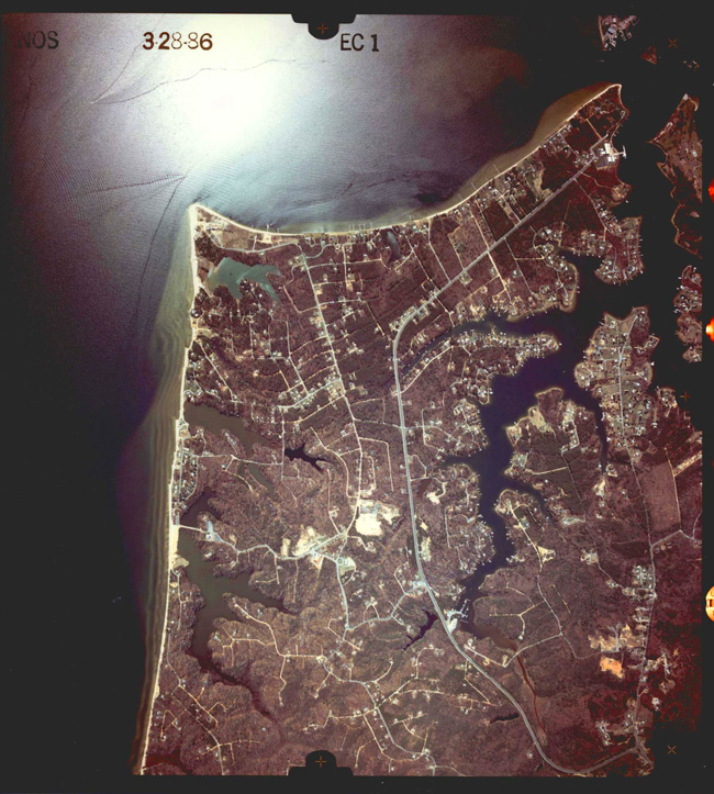
This aerial photo was taken in March 1986, as part of a coastal mapping project in the vicinity of Drum Point in the Chesapeake Bay.
High resolution available. (1.03MB, 2530x2815).
With the NOAA 200th Celebration coming to a close at the end of 2007, maintenance of this Web site ceased. Updates to the site are no longer being made.

This aerial photo was taken in March 1986, as part of a coastal mapping project in the vicinity of Drum Point in the Chesapeake Bay.
High resolution available. (1.03MB, 2530x2815).