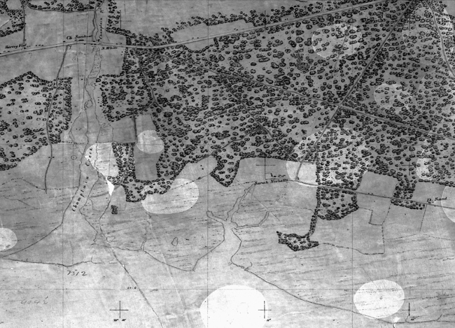
The first topographic map created by the Survey was originally a single, long and narrow sheet, about two feet wide and over nine feet long. It was later cut into three parts, each about three feet long, and registered as “No. 1.” NOAA still has the first T-sheet (T-00001). It is faded, fragile, and discolored in spots, but in surprisingly good shape considering its age.
High resolution available. (2.30MB, 2752x1984).

