
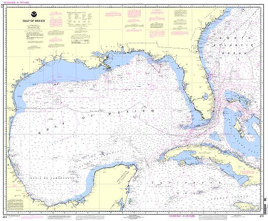
One of NOAA's 1,000 printed nautical charts. Charts range in scale from XXX to YYY. Common scales are 1:10,000; 1:20,000; 1:40:000 and 1:80,000. This chart of the Gulf of Mexico is 1:2,160,000, one of the smaller scale (larger area) Coast Survey charts.