In 1807, President Thomas Jefferson created the U.S. Coast and Geodetic Survey (as the Survey of the Coast) to provide nautical charts to the maritime community for safe passage into American ports and along our extensive coastline.
As the nation's first physical science agency, the Coast and Geodetic Survey laid the groundwork for a legacy of products to enhance the safe and efficient navigation of our nation's waterways. As our country grew westward in the 19th century, this organization also conducted surveys needed to establish a national geodetic control network.
Today, 200 years later, components of this early organization, including the Office of Coast Survey, National Geodetic Survey, Center for Operational Oceanographic Products and Services, and the NOAA Commissioned Officer Corps, are alive and well as parts of NOAA.
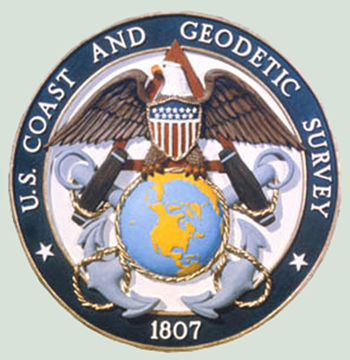
The logo above is one of those used by the U.S. Coast and Geodetic Survey.

